Ecomuseum of Argentario
Virtual Arch
Since July 2017 the territory of the Ecomuseo Argentario has been involved in the Interreg Central Europe project “Virtual Arch”, in which the Italian partner is the Heritage Department of the Autonomous Province of Trento. The Italian case study (pilot heritage 6) is the medieval mining area of Monte Calisio, the historical heritage which has given birth to the Ecomuseo Argentario. General objectives are:
- To promote the knowledge and enhancement of the hidden archaeological heritage, difficult to access for the public
- To develop transnational strategies to provide documentary evidence of this heritage through innovative technologies
- To protect sites through the involvement of local stakeholders (decision-makers, cultural and tourism operators, associations), making them a territory’s asset
As for Monte Calisio, the specific objectives are:
- To promote the knowledge, protection and enhancement of old mines
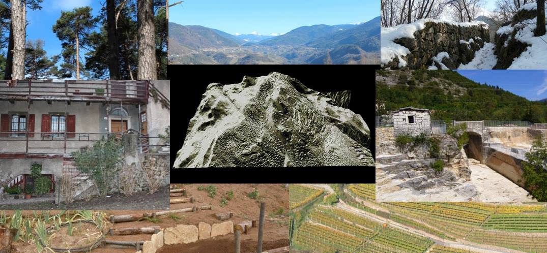
- To contextualise entrances historically and archaeologically, through surface surveys and GIS projects, by systematising the data gathered in the course of projects involving the ecomuseum, such as the Archaeology of the Mons Argentarius and Argentario Mapping and collecting new data through the intervention of an archaeology company
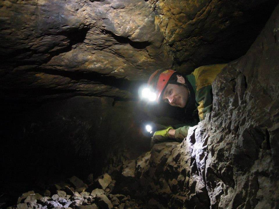
- To execute the 3D survey of a sample mine
- To share data with the public through multimedia channels (websites, social networks, apps…)
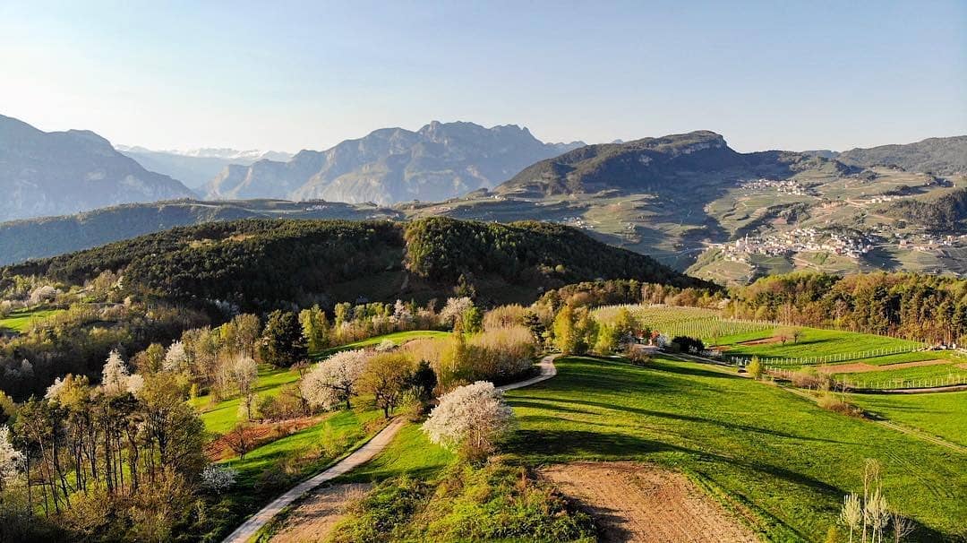
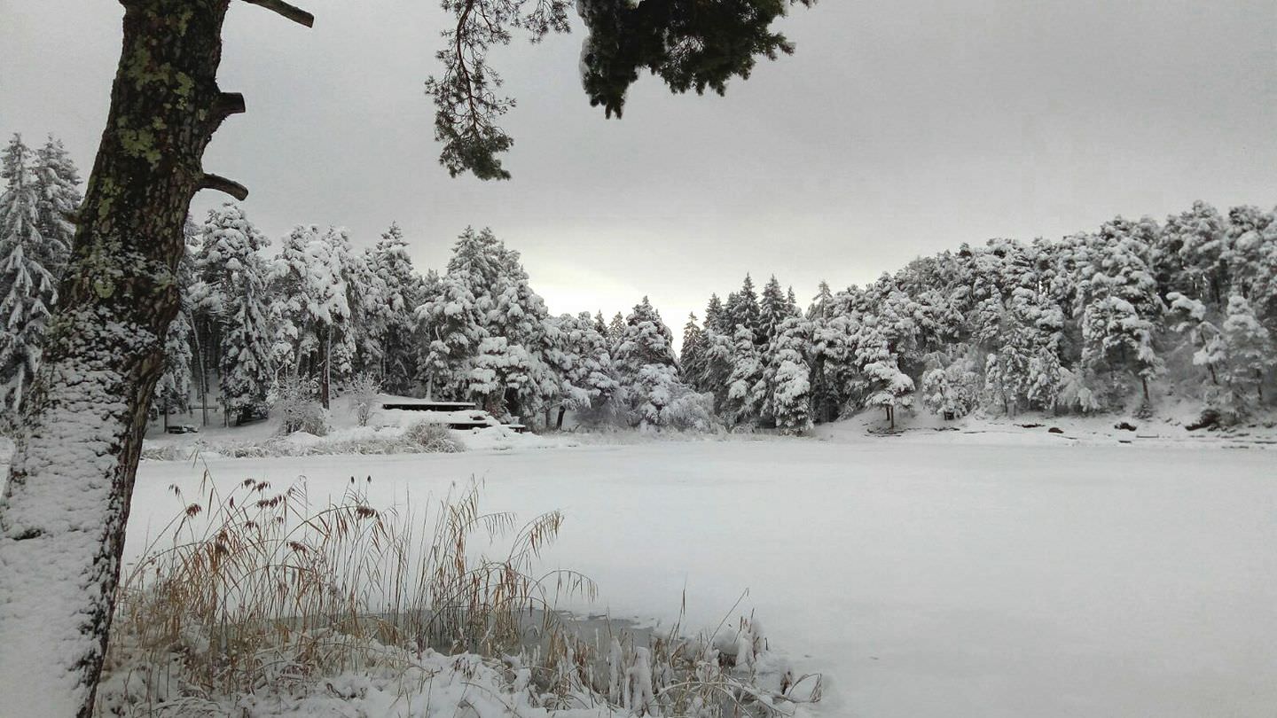
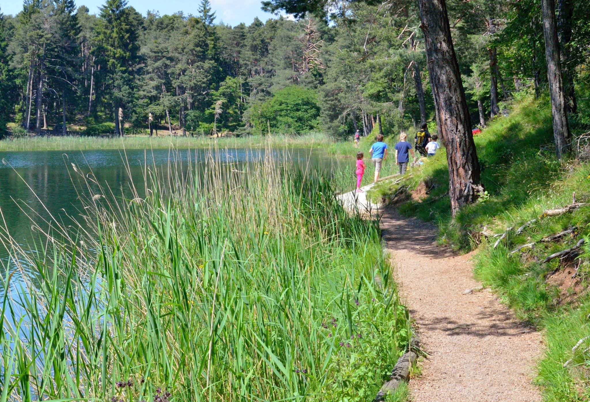
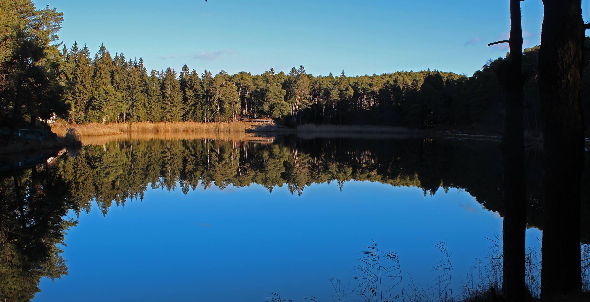
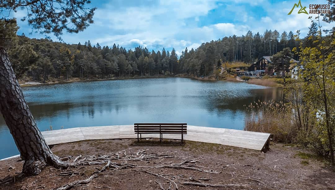
The area of Monte Calisio, around Civezzano (Italy) is a mountainous plateau at an altitude between 800 and 900 meters above the sea level, located in the Southern Alps in the Autonomous Province of Trento. It was a very important medieval mining area, mostly constituted by an argentiferous galena that has been exploited for centuries, especially from the 12th to the 15th century. According to a historical source (Codex Wangianus), a complex working organisation could be reconstructed, including specialised workers coming from Germany (Tirol, Bavaria, Bohemia, Saxony). Thousands of ground depressions (sinkholes) indicating former mine shafts also detected by LiDAR scans are still visible on the surface of an area of over 12 km2. A labyrinth of galleries and mine workings has been partly documented; some are still open and well preserved, with mining traces still visible.
PLANNED PROSPECTION / VISUALISATION ACTIVITIES
It is planned to lead GPS surveys on new areas and to collect data from available archives and existing field works. Old and recent maps of the subsoil will be georeferenced using a GIS, creating an overlay with the LIDAR DTM where mining traces are quite visible, that will be useful to connect underground and surface features. A new research on the basis of historical and current cartography, as well as Lidar will be carried out. All the digital data will be then entered into a GIS platform. As a result, a 3D model of the interior and external parts of some mines and basins will be created. This will be visualized using a mobile phone app and videos (renderings) located in totem(s) and online on institutional websites. The mobile app will allow VR/AR effect in order to see the hidden interiors (digitized in 3D) which are not accessible to the public.
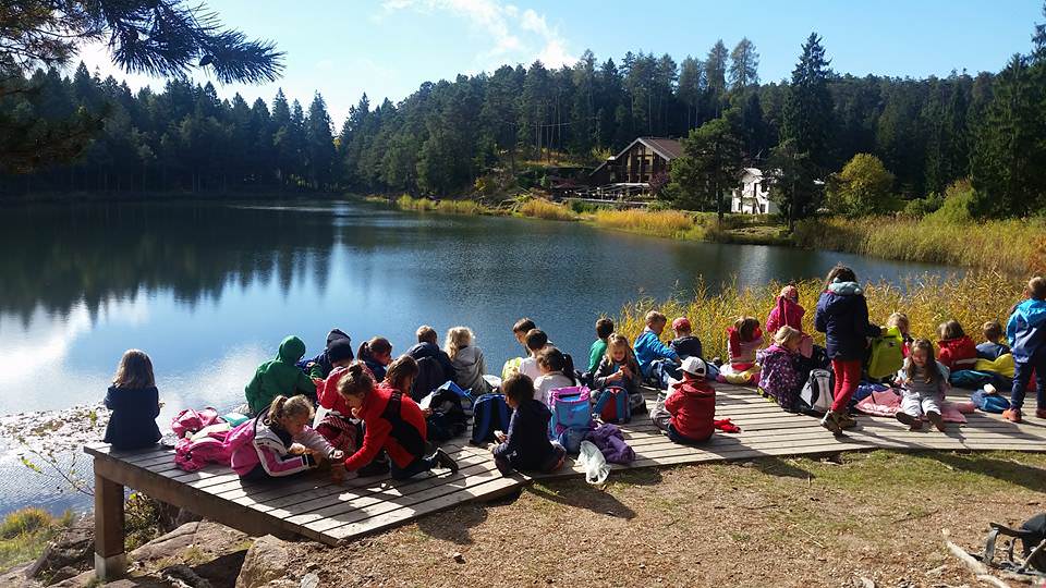
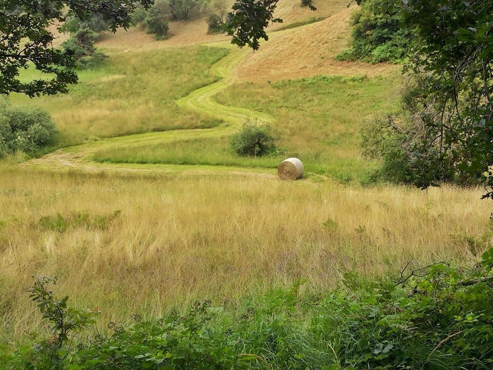
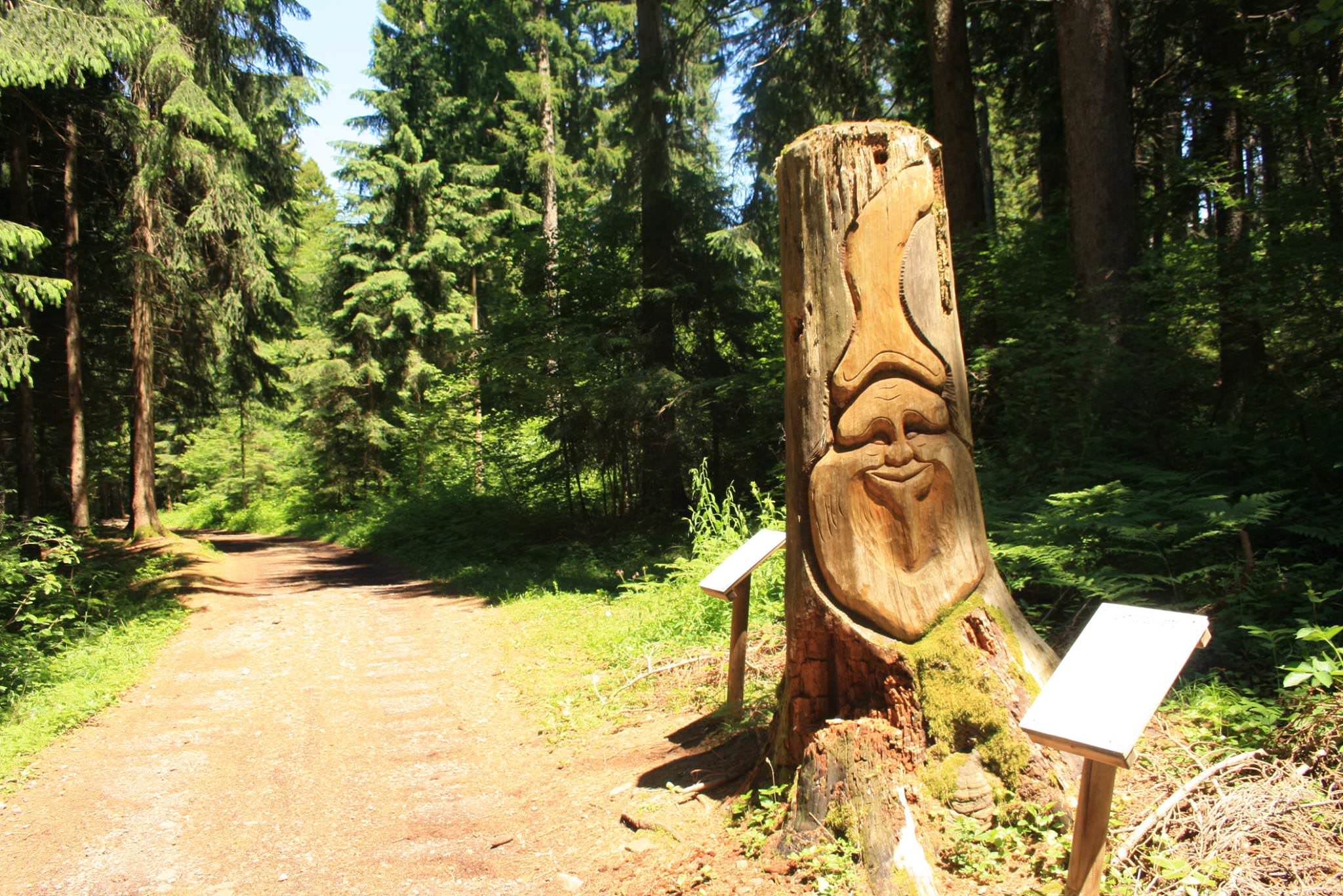
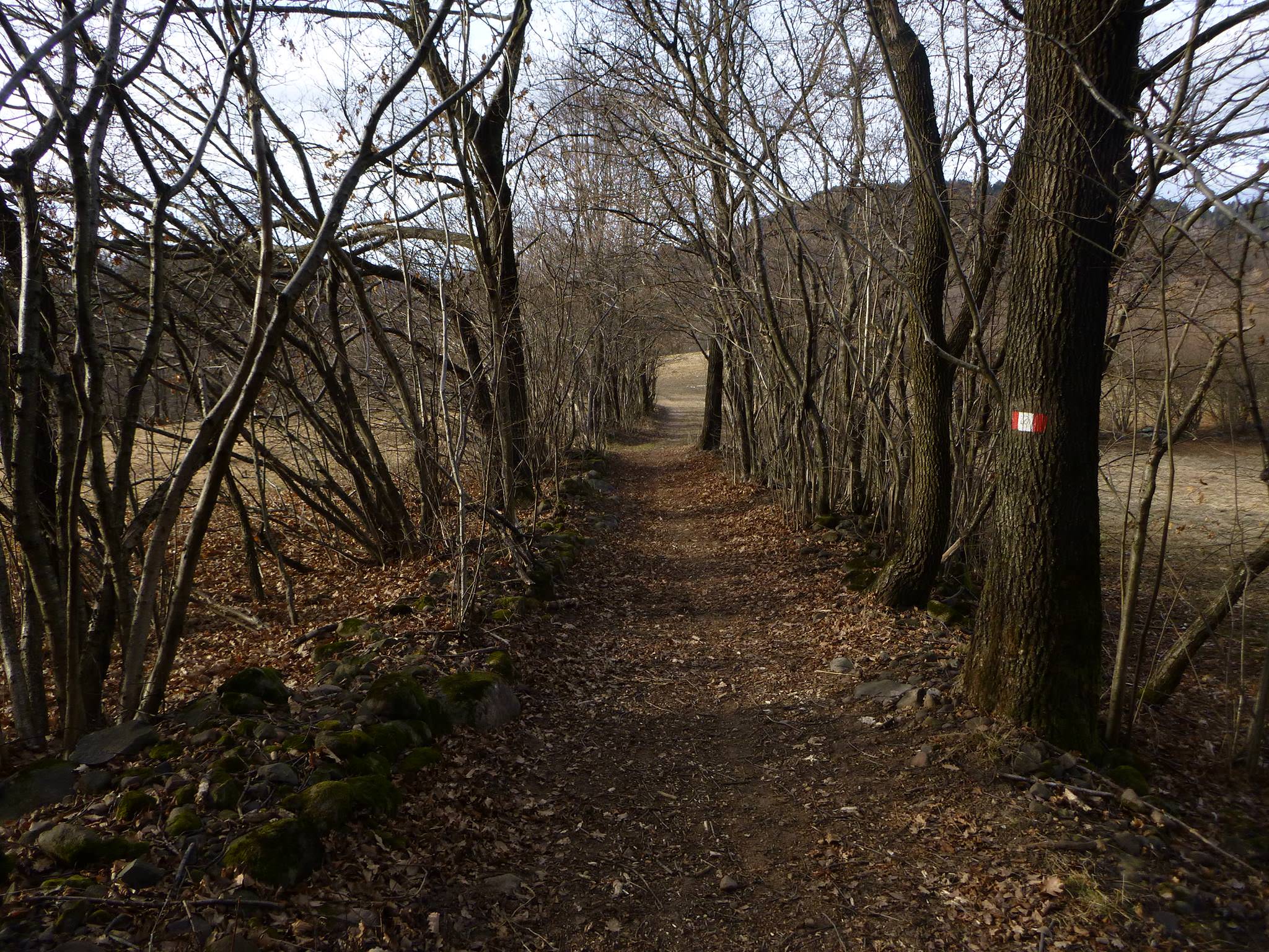
Gallery
Information
Name of the Ecomuseum: Ecomuseo dell’Argentario
Geographical location: Italy, Trentino Alto Adige region, province of Trento
Year of establishment: 2001
Network: Network of Trentino’s ecomuseums
Website: http://ecoargentario.it/